-01.svg)

But here lies the twist: many of the most photogenic roads aren’t actually located in the Bannau. They’re actually further south, coiled across a high ridge called Bwlch Mountain. Bwlch is a tautological name – meaning pass – making Bwlch Mountain, quite literally, “Pass Mountain”. No wonder it’s riddled with roads worth exploring.
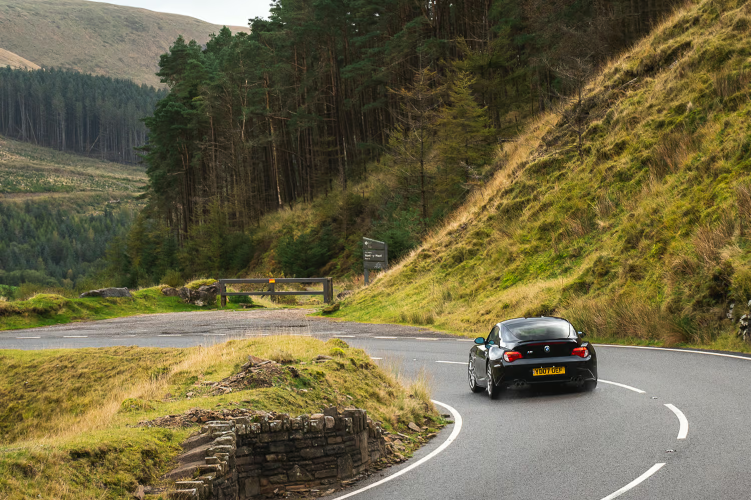
Our journey begins in Treorchy, a proud former mining village nestled in the Rhondda Fawr valley. The road we’re seeking is the A4061, branching south-east off the high street. Better known as the Bwlch-y-Clawdd, it wastes no time in getting down to business – the national speed limit sign presents itself immediately, complete with a tempting long straight to shake off the 20mph shackles. Initially the climb is smooth through Maendy Forest, with a well-maintained surface and gentle kinks reminiscent of Horseshoe Pass on the opposite end of the country. Before you get too comfortable, the road butts heads with the side of the valley, where a long radius, well-sighted right-hander begins one of the many coils up its side.
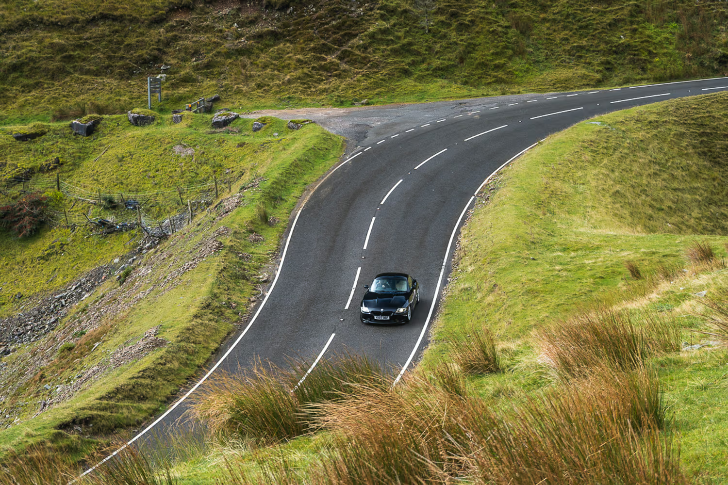
As the forest recedes in your rear-view, the landscape opens out and the scale of the valley reveals itself, framed by towering Pennant Sandstone ridges with rivers of scree running down their flanks, dictating the line of the road. The view is intimidating – but so too is the final long-radius, sweeping left-hander providing a slingshot for the last drag toward the summit. Just before the crest, it’s wise to lift – not only for the distracting vista, but for the hidden junction on the right, and a popular viewpoint layby on the left.
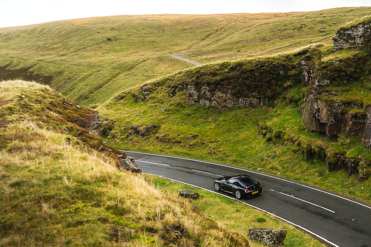
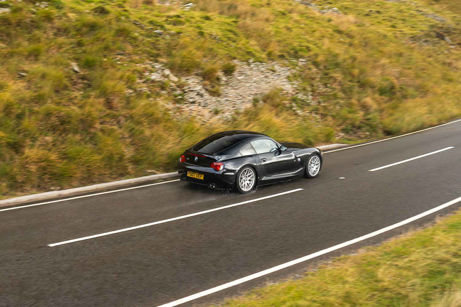
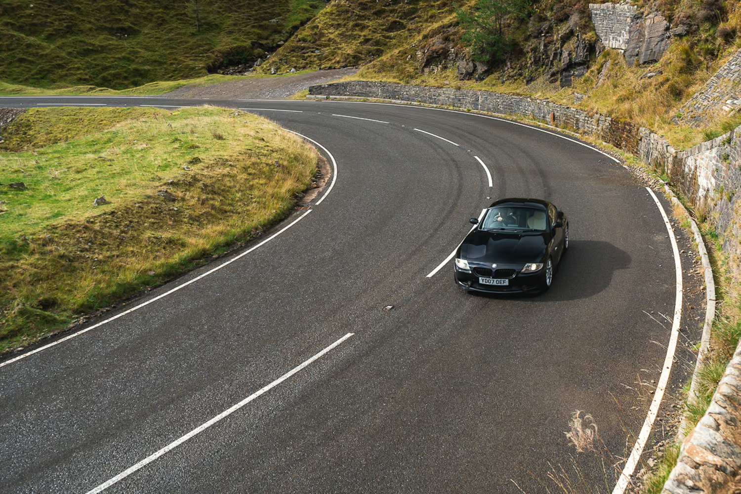
Once safely past, the tight, blind right-hander has the feel of a rollercoaster brink as it tips you into the Ogmore Valley (aka: Ogwr). Now the road cuts into the bedrock as it rushes downhill toward a wide hairpin that will take your breath away visually – and challenge you technically. Drivers are often found straying over the centre line as the two ‘pinch points’ at either end catch them out. The tarmac still bears the scars of those who’ve treated it as their personal touge and run out of talent… or into an errant sheep.
Once negotiated, the A4061 returns to its sweeping natural rhythm as it gently descends toward Nant-y-Moel, the sleepy village becoming our turnaround point as we retrace our steps and climb once more to the summit junction on Bwlch Mountain.
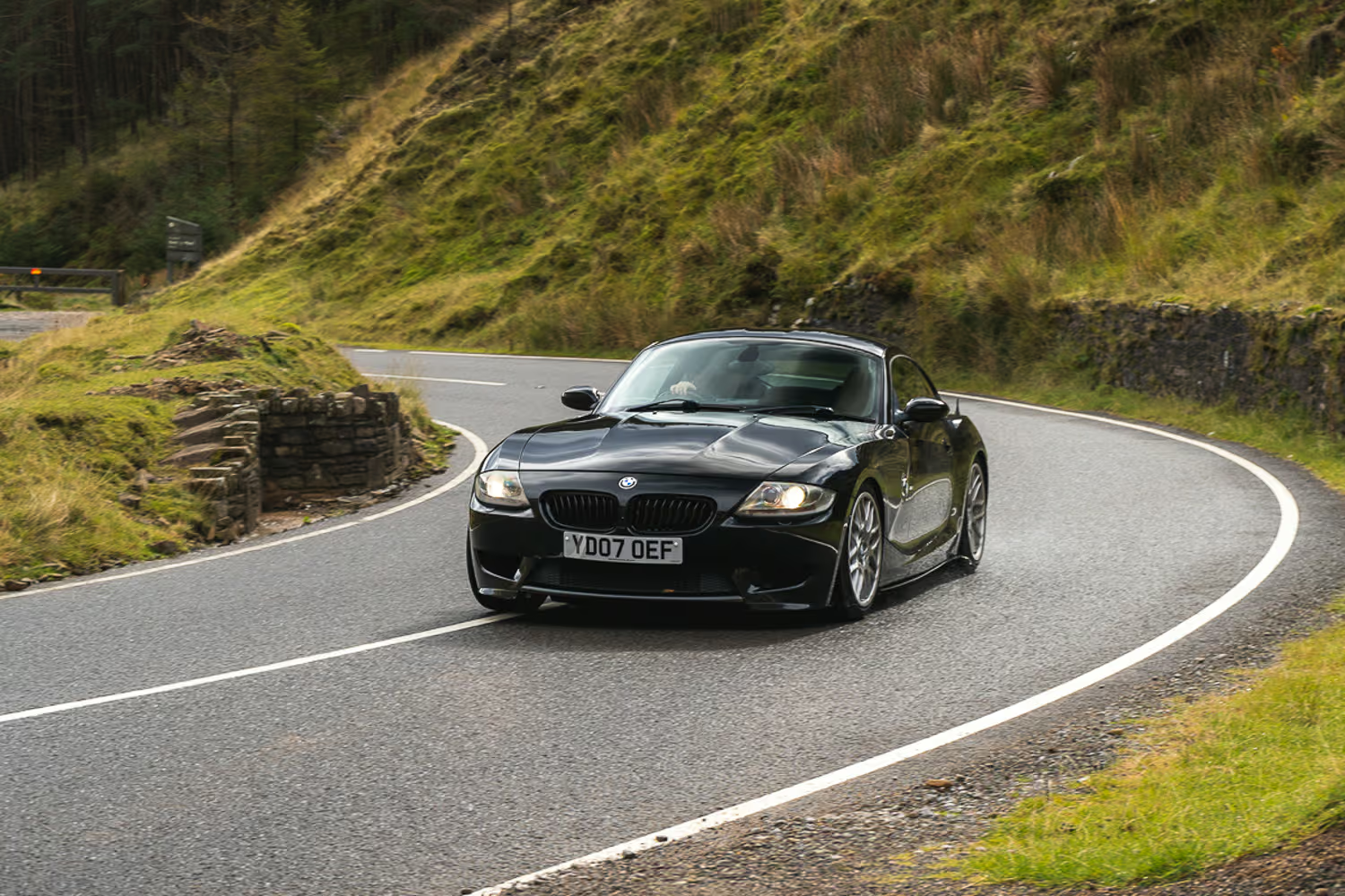
The A4107 again takes a brief bite out of the sandstone before climbing even higher onto a plateau. Now we’re no longer threading through the landscape but riding above it – running parallel to the Bwlch-y-Clawdd, perched atop the very ridge guiding it.
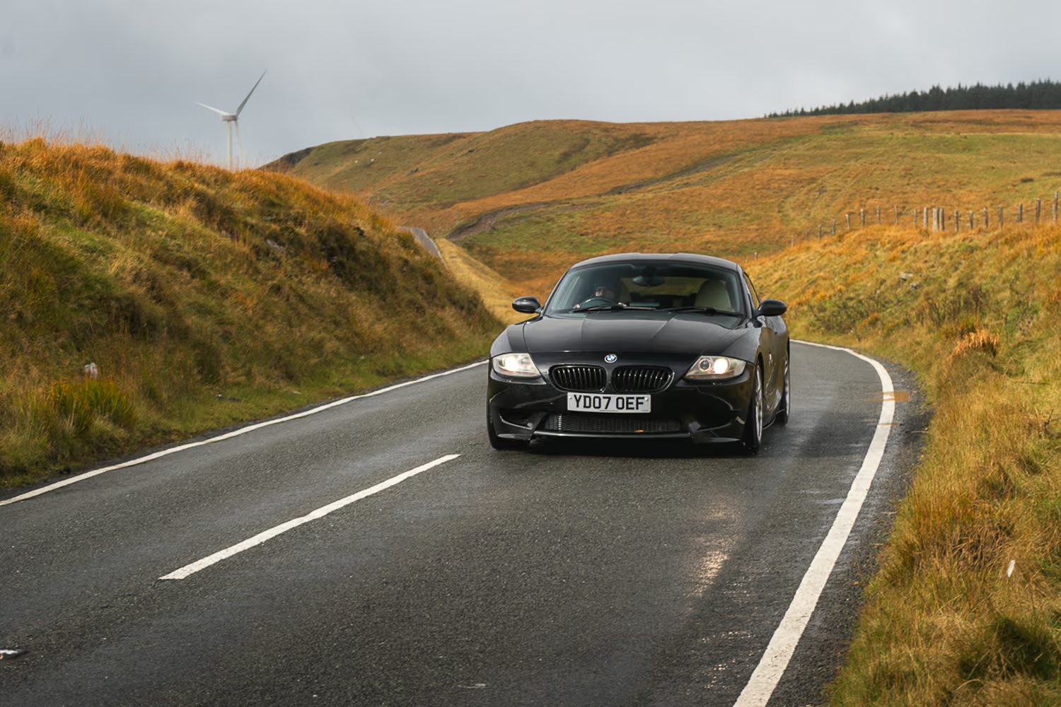

After a high speed run, the A4107 loses some of the composure defining the A4061, as the contours of the moorland (and likely mining subsidence) unsettles the surface. The tarmac remains in good condition and potholes are only noted by their absence, but the workout becomes a serious test of your car’s primary ride quality.
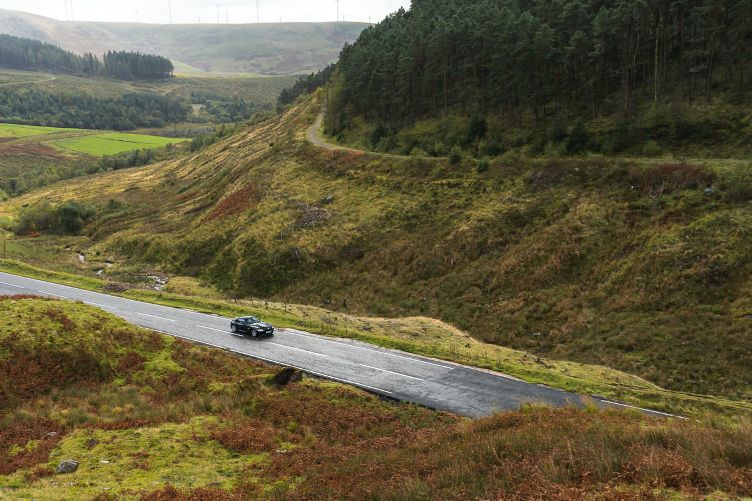
All too soon, it's time to descend again, with two more wide 180 degree bends building centrifugal force into the tyres, the steering, and the seat of your pants. Another rapid sprint toward Abergwynfi rounds off the drive. Much like Nant-y-Moel, it serves as our pivot point to scale the mountain once again.
It's easy to see why Bwlch Mountain is so attractive to videographers and photographers alike. The scenery is jaw-dropping and varied, and while the map footprint is small, the scale offered through a lens is vast. There’s also a multitude of laybys and natural vantage points perfect for filming from.
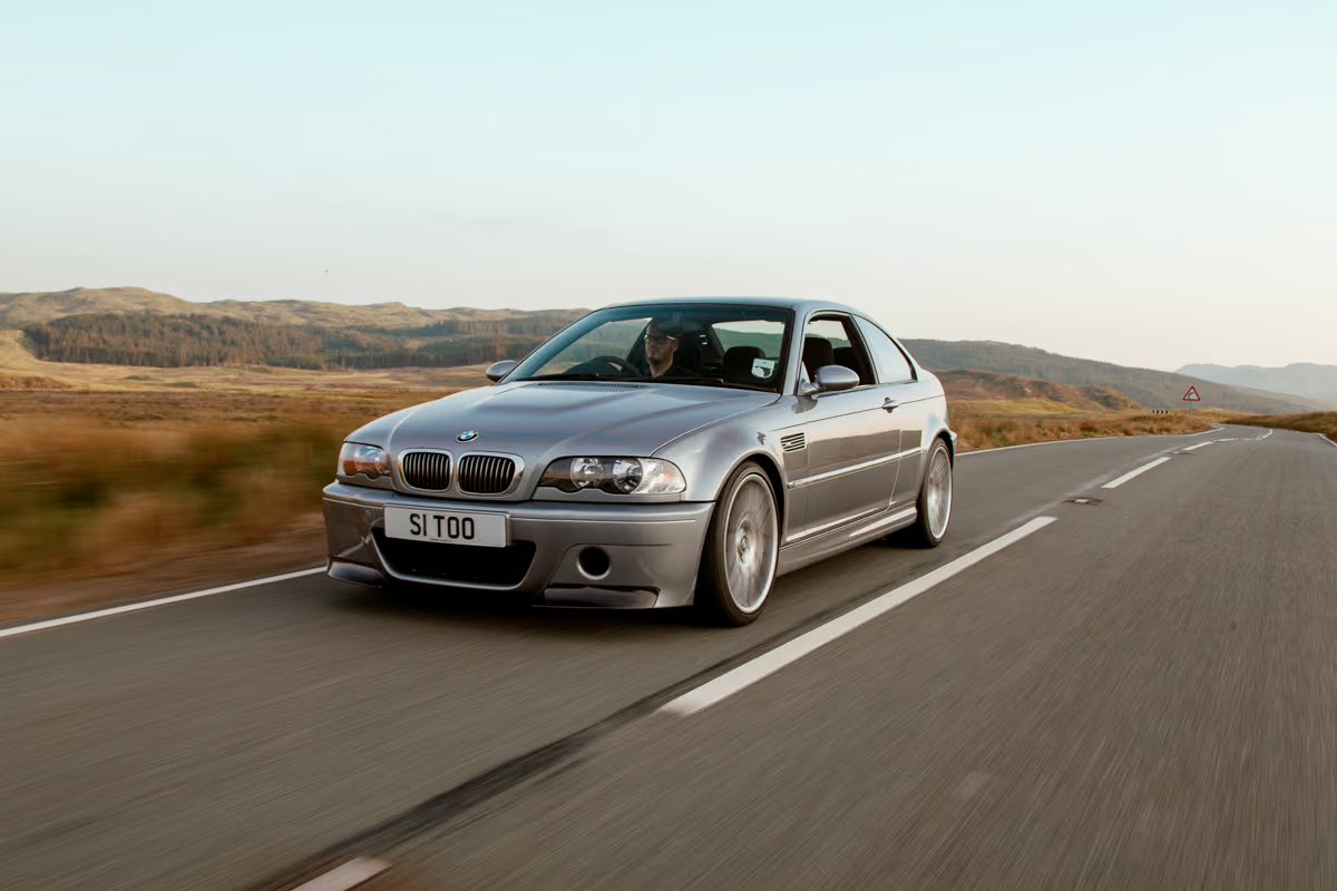
Yet I can’t help but feel these roads aren’t for everyone – or every car. Aside from a few signature turns, there’s not enough variety on offer. A powerful rear-wheel-drive coupe or an AWD superhatch will feel right at home – an Audi RS3 would be devastatingly effective up here, for example – but the gradients and flow tend to work against a naturally aspirated hot hatch or lightweight roadster.
Still, even with the right car, this isn’t a route that constantly delivers on driver engagement. What it does offer – in spades – is visual drama. And sometimes, that’s enough.
Start Point:
Treorchy High Street
Distance - approx 17 miles
Time - 30 minutes
Ideal car - BMW M2, Mercedes-AMG A45 S, Porsche 911 Carrera GTS T-Hybrid
Super Unleaded Petrol Stations:
Shell Tonypandy
Texaco Tonypandy
Tesco Aberdare
Other Interesting Roads in the Area:
Part II of the A4061 toward the Rhigos Viewpoint (40mph limit but great views)
The A4059 out of Hirwaun and into Bannau Brycheiniog National Park (NSL)
Further west is the infamous A4069 Black Mountain Road, which is now monitored by 40mph average speed cameras


-3.avif)


.svg)
